The area is access sensitive
🔴 This area is water level dependent. It is only climbable in the late fall through early spring -- Summersville Dam releases begin in September, however the lake is not guaranteed to be at winter pool... Read more
Activities on this crag
Nearby crags
The area is access sensitive!
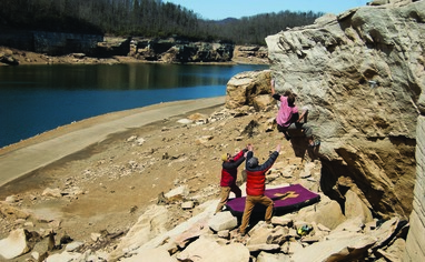
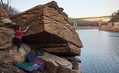
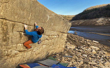
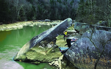
🔴 This area is water level dependent. It is only climbable in the late fall through early spring -- Summersville Dam releases begin in September, however the lake is not guaranteed to be at winter pool (1575ft) until December 1st and they will begin to fill the lake back to summer pool on April 1st.
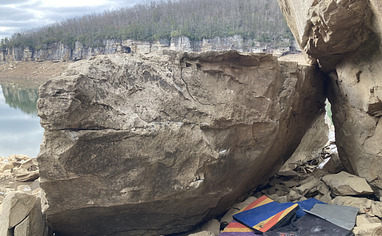
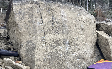
Most boulders are climbable starting in early November: The water level must be below 1620ft to climb the cliffs, and 1586ft for all the boulders to be climbable. At 1612ft, all boulders but Brianna's Jugs Boulder, Fistful of Figs Boulder, and Calling Card Boulder are out of the water. You can find the current water level at:
https://www.lrh-wc.usace.army.mil/wm/?basin/kan/sug
Driving Directions: From Fayetteville, turn right and drive on US-19 north for 20 miles, crossing over two bridges (the NRG bridge and the Meadow River Gorge bridge), then through 2 stoplights. After the 2nd stoplight, Whippoorwill Road is the 2nd road on your left. Once you make the left onto Whippoorwill Road, follow the road right and downhill. There will be a faint road into the woods on your left, then a second, more obvious road with a parking pullout. If it's full, you can parallel park along the side of the road, keeping your car 100% off the road. Don't park in the gravesite parking, but make sure to check it out.
Hiking Directions: From the main parking, continue walking down the dirt road, under the cable preventing cars from driving further, then take a slight left at the clearing. Follow the trail down the steep muddy hill to the lake bed. When you're down in the lake bed, head left (climbers' right) along the cliff line. In the distance you'll see a cluster of boulders. These are the Lost World Boulders. Total hiking time:

