UNLOCK Rocca di Corno Premium

UNLOCK Rocca di Corno Premium
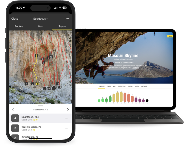
With Rocca di Corno Premium you get:

- 123 climbing routes with detailed descriptions
- 7 high quality topo images
- 5 sectors with extra details
- Unlimited access to all the other 4134 Premium crags around the world
- Offline mode: Use topos even when there's no Internet connection
Climbing has been limited!
⚠️CLIMBING IS FORBIDDEN AT THE VERY LEFT OF ZONA ROSSA, MORE INFO IN THE ROUTES DESCRIPTION⚠️
🅿️ for the parking see the location on the map
⏳ time to approach the cliffs: from 15 to 20 minutes.
🇬🇧
🚶🏻From Finalpia, you can follow the road towards Calvisio. After about 2 km, you will find a crossroads where you will have to turn right and take the road that leads to Verzi. Continue along this road for about 1 km. Afterwards, you will have to make a detour to the left on a Roman road which will take you up on a valley. You will come to a clear widening located at the base of a structure. From this point, you can see a comfortable path on the left that crosses a river and then begins to go up, marked by a red diamond-shaped trail marker. By following this path for about 15 minutes, you will reach the base of Settore Sud. You can continue along the right wall to get to Settore Sud Est, which will take another 15 minutes. From here, passing an area with blocks, you can reach Settore Est.To reach Settore Est, you can also start from the first Roman bridge and follow a path that climbs to the left up to the third hairpin bend. At that point, you will have to turn right following a track that will quickly lead you to the base of the sector. To get to Settore Ovest you need to pay attention just before you get to the Settore Sud Est. Continue to cross to the left along a path marked with a red diamond-shaped trail marker. You will have to leave the path when it starts to climb in the wood immediately to the right of the big red cavern. This part of the journey will take approximately 20 minutes.
🇮🇹
🚶🏻Da Finalpia, puoi seguire la strada in direzione di Calvisio. Dopo circa 2 km, troverai un bivio dove dovrai svoltare a destra e prendere la strada che porta a Verzi. Prosegui lungo questa strada per circa 1 km. Successivamente, dovrai fare una deviazione a sinistra su una strada romana che ti porterà a risalire una valle. Arriverai a un evidente slargo situato alla base di una struttura. Da questo punto, puoi notare un comodo sentiero sulla sinistra che attraversa un fiume e poi inizia a salire, segnalato da un segnavia a forma di rombo rosso. Seguendo questo sentiero per circa 15 minuti, raggiungerai la base del settore sud. Puoi continuare lungo la parete a destra per arrivare al settore su edt, che richiederà altri 15 minuti. Da qui, superando una zona con dei blocchi, potrai raggiungere il settore est. Per raggiungere il settore est, puoi anche partire dal primo ponte romano e seguire un sentiero che sale sulla sinistra fino al terzo tornante. A quel punto, dovrai deviare a destra seguendo una traccia che ti condurrà rapidamente alla base del settore. Per raggiungere il settore ovest, devi prestare attenzione poco prima di arrivare al settore sud est. Continua a traversare a sinistra lungo un sentiero segnalato con un segnavia a forma di rombo rosso. Dovrai lasciare il sentiero quando inizia a salire nel bosco subito a destra del grande antro rosso. Questa parte del percorso richiederà circa 20 minuti.


