UNLOCK Stempfermühle - West Premium

UNLOCK Stempfermühle - West Premium
With Stempfermühle - West Premium you get:

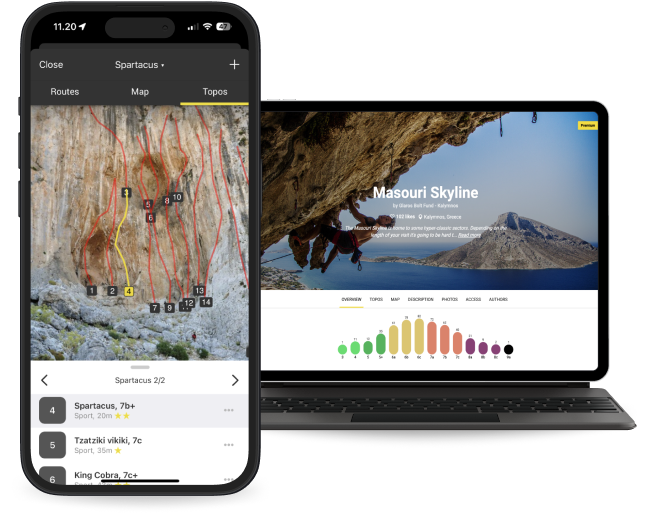
- 61 climbing routes with detailed descriptions
- 12 high quality topo images
- 6 sectors with extra details
- Unlimited access to all the other 4053 Premium crags around the world
- Offline mode: Use topos even when there's no Internet connection
Climbing has been limited!
⛔️ 🦅
On this crag climbing at "Sachsenturm" and "Behringergedenkwand" is prohibited from 1.February until 30. of June because of breeding birds. Rest is open all year until there are no signs at the wall.
🚗
Parking is right next to the street in Wiesent-Valley at a small lay-by with an old signboard. Approaching from West drive via "Ebermannstadt" up the river towards "Behringersmühle". Parking is 1.15 km after the junction towards "Leutzdorf", about 7 km after "Muggendorf". Approaching from East drive via Gößweinstein/Behringersmühle down the Wiesent-valley towards "Ebermannstadt". Parking is to your left 1.7 km after junction towards "Waischenfeld".
🚶♂️
Anna Fritz Gedenkwand:
Walk down the street (towards "Ebermannstadt"/"Muggendorf") for 60 meters and walk up the hill to your right. You already can spot the sector from the street.
Norisbabawand:
Walk up the Street (towards "Behringersmühle") for about 100 meters until there's a safety fence to your left. Walk behind that fence and go ahead the path leading to the already visible wall.
Sachsenturm:
Walk up the Street (towards "Behringersmühle") for about 180 meters. The tower is visible from the street already, search for a path leading to the wall. It's not very frequented, maybe the path became overgrown.
Weiße Wand:
Walk up the Street (towards "Behringersmühle") for about 250 meters. There is a path to your left leading up the slope and further to the already visible wall.
Behringer Gedenkwand:
Go to "Weiße Wand", go ahead the path leaving the wall to your left. Cross the dry creek and follow the path until there's a blue arrow pointing up a slope. Go up there and you'll reach the sector.
Take the second paring in the woods. Follow the streambed for 300 m until you see the wall to your right. Then turn right and follow the path until you see the trail to your left after 60 m heading up to the wall.


