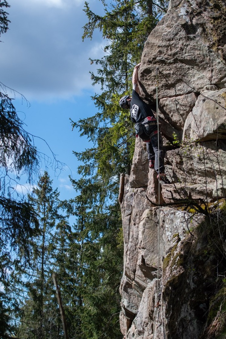
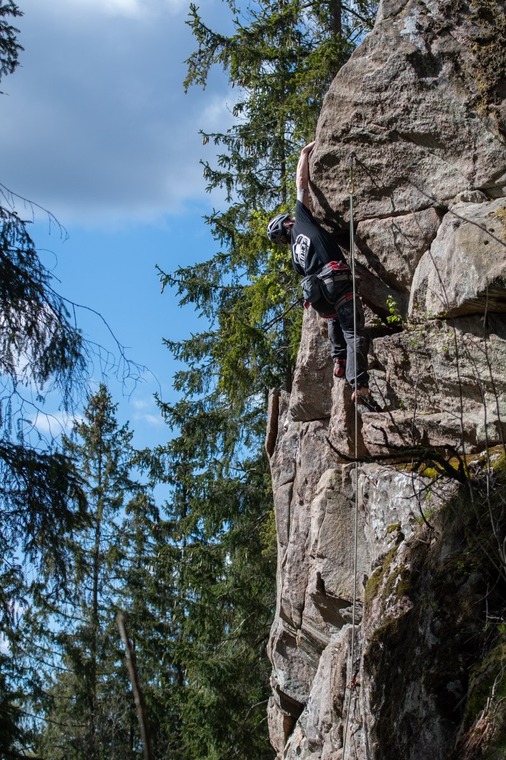
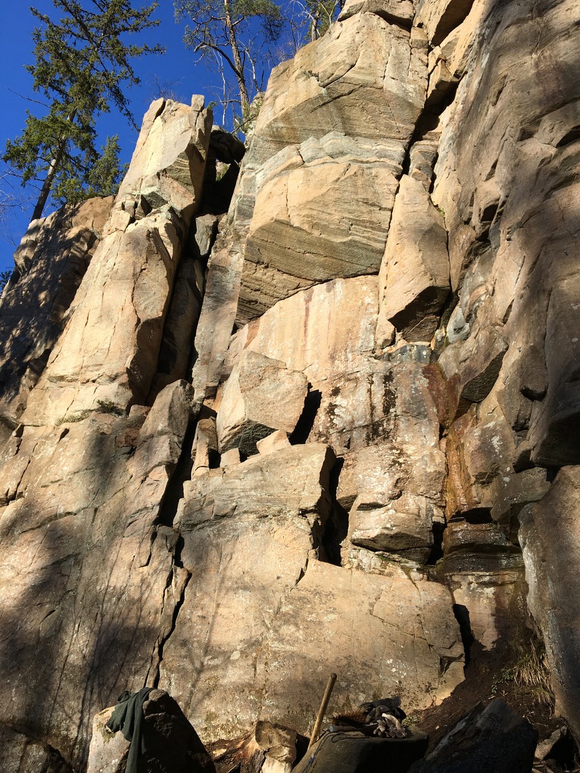
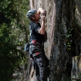
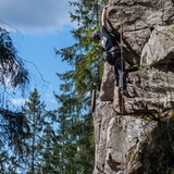
Tosseryd is considered by many as Sweden's best sports climbing area for new climbers, with many, good, varied and easy routes on fine stone quality. Several of the easier sports routes can also be mixed climbed or traditional climbed. Tosseryd developed significantly during the years 2020 and 2022 and increased from 44 to 117 sports routes. Among these are also a bunch of routes in the 7-register, and Tosseryd's first 8a. So nowadays there is something for most climbers in Tosseryd.
Do not use the fixed carabiners for top rope climbing. Please use your own!
It is your own responsibility to climb safely. Neither the landowner, the club or the municipality nor anyone else is responsible for any bolts or firing anchors. If you want to do new routes, contact Borås Klätterklubb (Borås climbing club first). If you discover any faults on bolts, firing anchors or anything else that affects safety and that you yourself cannot fix, please report to borasklatterklubb@gmail.com
VÄNSTER SIDA is with its 46 routes Tosseryd's largest climbing area and offers vertical and slab climbing as well as some small roofs on some routes. The routes are between 6 - 20m high. The sports routes are all equipped with anchors with carabiners, as well as the traditional routes. The cliff faces south and southwest. The left part of the cliff is located in a small area with large spruces, which means it´s partially shaded during the day. If you go up the mountain on the left side (next to Trebulten), you have a nice view of Öresjö to enjoy a coffee on. The forest in front of the right part of the cliff was largely thinned out in 2011, which opened the cliff. Another thinning was done in the area in 2019. The right part of the cliff is therefore now in the sun almost all day. Most of the routes here are dry most of the year and dry quickly after rain.
APPROACH: You can (at least for now) park at the top of the gravel area (Klättervägen 15) 50m from Vänster sida or or you can turn directly to the right after the exit on the small gravel road and keep to the right towards a deserted house. Be careful not to park so you block other cars. To the left is a small meadow where you also can park. Cross this meadow and continue across the meadow on the right side of the stream, past the fallen tree. Aim for the tree that stands for itself. Round this spruce on the right side and there begins a path that goes obliquely up to the left. After a short while, it opens up again. Go straight forward and follow the new path until you reach Höger sida. Then take left and follow the path to Vänster sida. 450 m, 7 min walk. Preliminary information is that the old and shorter approach will be available again somewhere around February-March 2024.
HÖGER SIDA is visible from Fristadsvägen and is a small but really nice cliff that offers 10 vertical, 6-16 m high sport routes. There are also 3 traditional climbed routes. All routes are equipped with anchors.
The cliff faces southwest and northwest and is now quite open as several trees have fallen in front of the cliff. This means that the rock stays clean better and dries faster after rain. If you go up the mountain on the left side, you have (over the anchors) a nice view of Öresjö to enjoy a coffee on.
APPROACH: See the directions to Vänster sida, 300 m, 5 min walk.
ELAKA TROLLET is a slightly overhanging sports cliff with 11 sport routes (+ a nice traditional route to the right) that are about 12 m high. Only the traditional route Skojig 6c lacks anchorages. The cliff is well worth a visit!
The cliff faces south and west and is located in sparse spruce forest. This means that it is partly shaded during the day, but it dries quickly after rain and early in the season.
APPROACH: See the directions to Vänster sida. There is a path to the right, a bit before Höger sida that leads up to the Höger sida and then further up to the Elaka trollet which is at the top left of the slope. It is almost invisible until you reach it. 380 m, 6 min walk.
KALHYGGET which is Tosseryd's second largest climbing area with 20 routes. 19 routes are sports routes that mostly offer vertical or steep slab climbing. Some of the routes have steep boulder starts. The cliff is about 10-17 m high. There are anchors on all routes. There are 3 other routes which are overgrown and will probably remain so (we have removed them from the topos for now, but they are included under Photos for those who are curious or want to clear them). Most of the cliff faces south. With a substantial thinning in 2019, the cliff is relatively open with sun most of the day (the birch grove in front of the cliff, however, provides some shade for those standing on the ground). Since 2021, there is a nice barbecue area/fireplace with benches to sit on and many trees to hang the hammock in. At the far right of Kalhygget is a whole bunch of nice sports routes that are easily missed and even further to the right is the small cliff with the route "Tvåbulten".
APPROACH: See the directions to Vänster sida. Follow the forest road up and past Vänster sida until a cliff appears to the left of you (behind a birch grove that was once the naming kalhygget/clear-cut). A stone pillar at the top marks the path in. 800 m, 11 min walk. It is also possible to get there from Sjöklippan's and Punkväggen's car park up by the lake. See below.
LILLA KLIPPAN is a small but nice vertical/slab cliff with 7 sports routes which are about 10 m high. One commonly anchor is located at the top of the routes + an anchor at Duvans röst.
The cliff faces south and is open with sun most of the day. Most routes dry quickly.
APPROACH: Enter the path to Kalhygget and turn off on the path to the left before the barbecue area/fireplace. The cliff is located 50m to the left of Kalhygget.
SJÖKLIPPAN is a vertical or slightly overhanging rock with 10-12 m high routes. All routes are bolted and equipped with anchors with new carabiners (2021).
The cliff faces southeast, beautifully situated in an area with large spruces and overlooking the lakes. The whole cliff is usually climbable from April. Here you will find Tosseryd's hardest routes, but also some easier ones. There is one open project on the cliff. Below the cliff by the lake there is a fireplace and up on the cliff there is a nice plateau with a view of the lake to enjoy a coffee on.
APPROACH: See the directions to Vänster sida. Follow the forest road past Kalhygget until the path splits. Turn right here up a hill. At the bottom of the ravine that follows, there is a "path" on the left side of the ravine. When the forest opens up and you see the lake, turn right and you are at the entrance of Sjöklippan. The entire walk is about 1.3 km long.
If you only are going to climb at Sjöklippan/Punkväggen/Ödleblocket, it´s the shortest and least difficult approach to park at the power station along Tosserydsvägen. As a bonus, it´s also a beautiful approach. From Fristadvägen; drive Tosserydsvägen through Tosseryd, continue the same road when it turns right at the height of Tosseryds Billackering (signposted Lejondalen). Drive through the "little village in the village" until you see a large greenhouse right in front of you. On the right side there is a power station where it´s possible to park. Note! park so that Tosserydsvägen is free, as there are truck transports here and so that more cars can fit. Enter the small gravel road to the right just before the greenhouse. You will then arrive at a new greenhouse. Keep to the right of it. At the far short side of the "greenhouse tent" the path begins. Follow the path along the right side of St Tosserydssjön (if you take the path directly to the right when you come out on the meadow, Ödleblocket is about 50m in on the left side). When you have passed the meadow and entered the forest again, a T-junction will come in height between the lakes (not the first path that goes to the right when you enter the forest, if you aren´t going up to Kalhygget). From here, aim obliquely to the right towards/along the precipice/mountain foot and follow the path that starts there and goes through the area with small trees. Then keep to the right and follow the path that runs along L. Tosserydssjön. If you are going to Sjöklippan, you turn off straight up the slope at the height of the fireplace (the cliff can be seen from there) otherwise you continue the path past the lake, past the precipices and you are at Punkväggen. It is about 1km march from the car to Punkväggen and without uphills (but not pram-friendly path ;-).
PUNKVÄGGEN is Tosseryd's steepest cliff and is the cliff that has the densest between the star routes. The 18 sports routes are between 12-20m long, of which one is an open project.
The first and until the year 2020, only opened route, Död åt reptjuven, 1993 has in a short time been joined by several other fine routes. Many of the routes are star routes.
The cliff faces southeast and since 2021 has only a few majestic spruces in front of it (then the former forest until most of it has been felled). The cliff has previously been climbable from April, but now both sun and wind will be better for it, and it will probably dry earlier than that. In the summer it´s sunny between about 9-15.
APPROACH: (from Vänster sida) follow the directions to Sjöklippan above, but continue all the way down to the lake edge and to the path that runs along it. Follow the path to the right and after about 200 m Punkväggen appears on the right side. The whole walk is about 1.5 km long.
If you just want to climb at Punkväggen/Sjöklippan, see approach above.
There is a cozy and nice barbecue area nearby if you at the foot of Punkväggen go straight down to the stream and over the 2 trees that form a bridge. Follow the weak path to the right, away from the lake until you soon come out on a large path. Keep to the right, cross the bridge and on the left side there is a prepared barbecue area next to the brook. It is also nice to sit in the afternoon sun up on the big shelf over "Himmel över Borås" anchor.